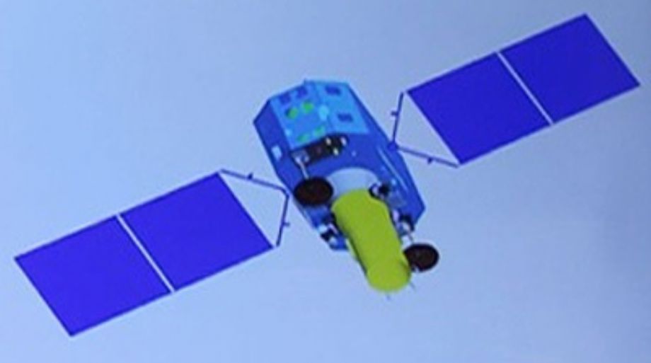
The GF-4 was launched on December 28, 2015 from Xichang China, on a CZ-3B/Long March 3 rocket, to a geosynchronous orbit 36,000 kilometers above the Earth. GF-4 satellites constantly stay above a path of Earth, covering a geographic area with longitude 20°E to170°E and latitude 70°N to70°S, providing constant 24 hour surveillance.
It has a color image resolution of 50 meters and a thermal imaging resolution of 400 meters (good for applications such as monitoring forest fires).
The satellite is part of the dual use China High-Resolution Earth Observation System (CHEOS). And this satellite could also be used for environment change monitoring, for disaster prevention and mitigation, as well as for agriculture and forest estimation.
GF-4 Coverage:

GF-4 Technical Specifications:
| Orbit | 36000km. |
| Design Life: | 8 Years |
| Sensor Bands |
Pan:450-900nm; MS: Red: 450-520 nm Green: 520-600 nm Blue: 630-690 nm Near-IR: 760-900 nm Mid-wave infrared:35000-41000nm |
| Spatial resolution: | PAN(nadir): 50 m MS(nadir):50 m Mid-wave infrared:400m |
| Dynamic range: | 16 bits |
| Shooting interval: | 20 seconds |
| Swath width: | 400 km |