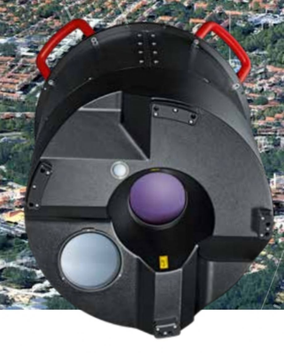
The Leica TerrainMapper is the newest generation linear-mode LiDAR airborne sensor optimised for regional mapping projects. With an operational profile spanning from 300 m to 5,500 m flying height, outstanding accuracy and an unmatched point density, the sensor offers flexibility to be used in complex and changing terrain.
Seamless, extremely accurate data with even point distribution can be captured in mountainous terrain with gateless MPiA. Leica TerrainMapper performs well for regional mapping projects spanning from narrow-swath corridors to high altitude applications over complex and changing environments for the delivery of highest fidelity data.
- Capture power lines at 100 points/m2
- Map wider areas with USGS Quality Level 0
- Perform high-flying-height standoff missions
Leica TerrainMapper is part of the RealTerrain efficient and flexible airborne LiDAR reality capture solution that offers information from accurate, high density elevation data.
CLICK for Leica TerrainMapper Brochue (Technical Properties)

Elevation Point Cloud

NDVI Point Cloud

CIR Point Cloud